Defense Mapping Agency & NGA · 1980–2014
More Than Three Decades of Federal Service
In 1980, Gary began his federal geospatial career with the Defense Mapping Agency. He remained with the national geospatial mission through its later organizational evolution and retired in 2014 after approximately 33 years and 7 months of service.
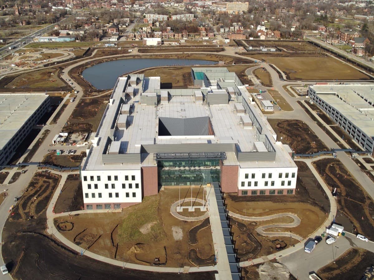
The Defense Mapping Agency was responsible for producing and managing mapping, charting, geodesy, imagery, and related information needed by the United States military and national security community. Its work became part of the modern National Geospatial-Intelligence Agency, commonly known as NGA.
Gary held a Top Secret security clearance and worked in a controlled environment where sensitive materials had to be protected at all times. At the end of the workday, the materials and contents associated with his desk were secured in a vault. This procedure reflected the seriousness of the information entrusted to him and the standards required of personnel supporting national defense.
Over the course of his career, Gary witnessed an extraordinary transformation in mapping and geospatial technology. The field moved from traditional cartography, film, paper products, and specialized production systems toward digital mapping, satellite imagery, geographic information systems, advanced visualization, and integrated geospatial intelligence.
Professional Legacy
Gary advanced to the highest professional level available within his career path. His longevity and advancement reflected the confidence placed in his technical knowledge, judgment, integrity, reliability, and ability to adapt as the geospatial profession changed.
1980–2014: a federal career spanning more than 33 years across the Defense Mapping Agency and the organization now known as the National Geospatial-Intelligence Agency.
Geospatial Intelligence Explained
Understanding the World Through Place
Geospatial intelligence brings together maps, imagery, geographic data, terrain information, human activity, and time to explain what is happening at a particular place and why it matters. It helps decision-makers understand distance, movement, access, risk, visibility, infrastructure, environmental conditions, and changes on the ground.
Before digital maps and GPS became common consumer tools, defense mapping professionals created the precise products required for navigation, aviation, military planning, logistics, emergency response, and worldwide operations. Their work supported people who needed to know not only where something was, but also what surrounded it and how conditions could affect a mission.
What Geospatial Work Can Include
- Topographic maps and terrain analysis
- Aeronautical and nautical charts
- Satellite and aerial imagery
- Geodesy and precise positioning
- Digital elevation and geographic data
- Route, access, and line-of-sight analysis
- Change detection and situational awareness
- Support for military planning and humanitarian response
Gary's career was part of this larger mission. Although the details of classified work remain private, the public purpose is clear: provide accurate, trusted geospatial information so military and government leaders can make better-informed decisions.
From Maps to Modern GEOINT
The profession Gary entered in 1980 changed dramatically by the time he retired in 2014. Paper maps increasingly became digital datasets. Individual products became interconnected systems. Imagery became faster and more detailed. Analysts gained tools to layer geography, infrastructure, movement, weather, and other information into a shared operational picture.
Gary's career therefore represents more than long service. It spans a foundational period in the development of modern geospatial intelligence.